Forecast Informed Reservoir Operations
FIRO is a reservoir-operations strategy that better informs decisions to retain or release water by integrating additional flexibility in operation policies and rules with enhanced monitoring and improved weather and water forecasts (American Meteorological Society; 2020).
FIRO is being developed and tested as a collaborative effort in the Russian River Basin (Lake Mendocino, Lake Sonoma), the Santa Ana River Basin (Prado Dam, Seven Oaks Dam), the Yuba-Feather River Basins and the Green River (Howard Hanson Dam) that engages experts and stakeholders in civil engineering, hydrology, meteorology, biology, economics and climate from several federal, state and local, universities and others. There is significant interest and support for developing FIRO at other appropriate locations in the Western U.S. and elsewhere.
 |
 |
 |
 |
 |
 |
 |
 |
 |
|
Steering Committee Co-Chairs Lisa Haney Executive Director of Planning and Natural Resources (Orange County Water District) Hayley Lovan Chief, Ecosystem Planning Section (U.S. Army Corps of Engineers, Los Angeles District) Members F. Martin Ralph Director (Center for Western Weather and Water Extremes at Scripps Institution of Oceanography) Michael Anderson (California Department of Water Resources) Cary Talbot (US Army Corps of Engineers) James Tyler (Orange County Public Works) Tim Fairbank (US Army Corps of Engineers) Joe Forbis (US Army Corps of Engineers) Support Staff Agniv Sengupta (Center for Western Weather and Water Extremes at Scripps Institution of Oceanography) Arleen O’Donnell (Eastern Research Group) Robert Hartman (RKH Consulting Services) Kyla Van Maanen (Center for Western Weather and Water Extremes at Scripps Institution of Oceanography) Related Documents |
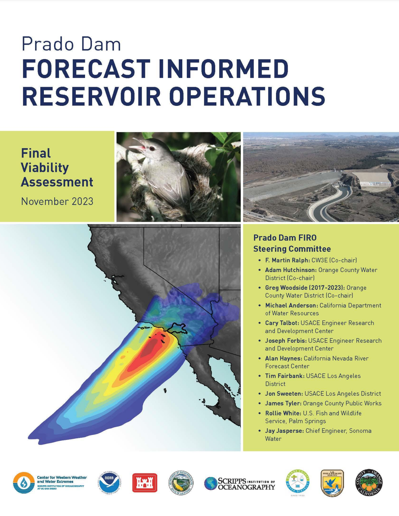
Prado Dam Prado Dam’s primary purpose is flood risk management. Stormwater capture for downstream groundwater recharge in Orange County is a secondary purpose. Once approved, full utilization of FIRO at Prado Dam could potentially provide as much as 23,000 AF of additional water for groundwater recharge in a wet year over current operations and an overall average increase of up to 6,000 AF per year. Stormwater is a crucial water supply source for Orange County. Since 1936, the Orange County Water District (OCWD) has been capturing and recharging stormwater from the Santa Ana River. Constructed in 1941 by the US Army Corps of Engineers (USACE), Prado Dam has been pivotal in these efforts. In collaboration with USACE, OCWD can temporarily store up to 20,000 acre-feet (AF) of stormwater. The stored water is released at rates that allow OCWD to recharge the groundwater basin in facilities located ten miles downstream from Prado Dam. 
Figure 1. Map of the Santa Ana River Watershed. Prado Dam is in Riverside County at the upper end of the Lower Santa Ana River Canyon, about 30 miles upstream of the Pacific Ocean. Over the past 25 years, OCWD has captured and recharged an average of 55,000 AF of stormwater per year, with a maximum of 117,000 AF in 1995. On average, stormwater provides enough water to meet the annual needs of 440,000 people. This local stormwater capture is critical as it reduces dependence on costlier, less reliable imported water sources affected by conditions in the Sacramento Delta, the Colorado River, and changing weather patterns. To increase the efficiency of stormwater capture at Prado Dam, CW3E collaborated with the Orange County Water District (OCWD) and U.S. Army Corps of Engineers (USACE), Los Angeles District to apply lessons learned implementing FIRO at Lake Mendocino to the Santa Ana River Watershed. Figure 2 shows the current elevations and volumes of water that can be temporarily stored behind the dam. The FIRO Final Viability Assessment, completed in November 2023, concluded that FIRO could offer an additional 4,000 to 6,000 AF of stormwater recharge annually, depending on the final elevation (between 510 ft and 512 ft). This volume could serve 32,000 to 48,000 people each year. Steps are now underway to integrate FIRO operations into the Prado Dam Water Control Manual (WCM), with USACE currently preparing its first update to accommodate structural changes at the dam. A minor deviation in the WCM will test FIRO capabilities by allowing the conservation pool to rise to elevation 508 ft for a trial period of five years. Concurrently, OCWD, CW3E and the USACE will be developing decision support tools needed to operationalize FIRO and a habitat assessment tool to better understand the effects of holding more water on habitat. The final FIRO WCM update is scheduled for completion in 2029. 
Figure 2. Current water conservation pool program at Prado Dam. Source: OCWD |