CW3E Forecasts
Atmospheric River Forecast Products
Deterministic Forecast Maps
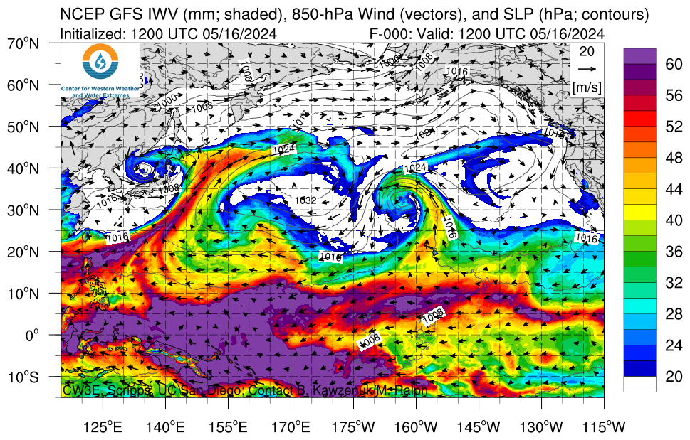
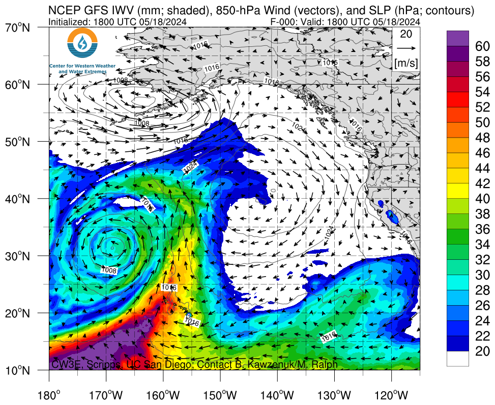
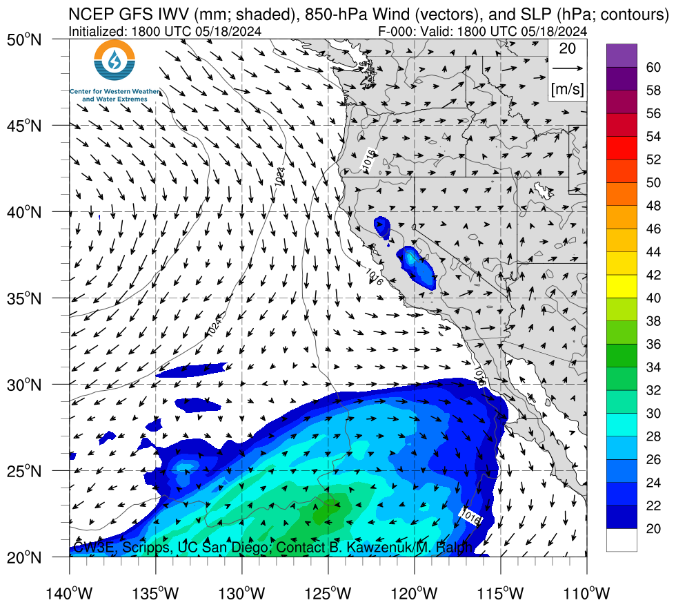
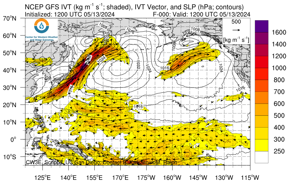
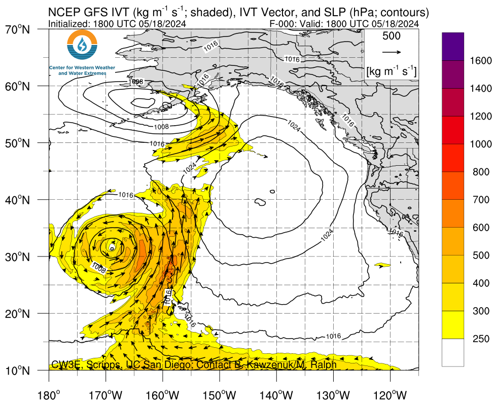
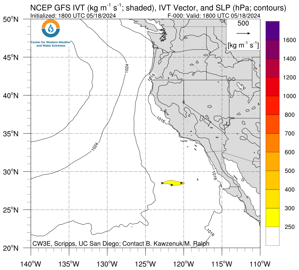
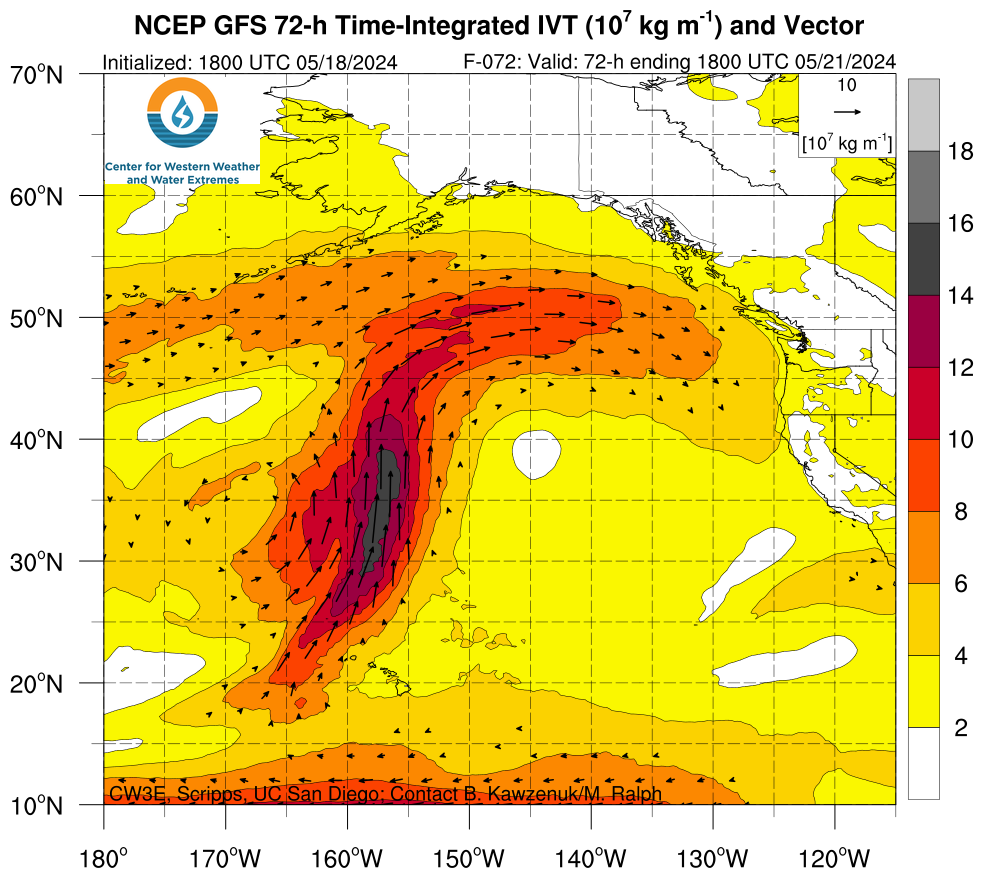
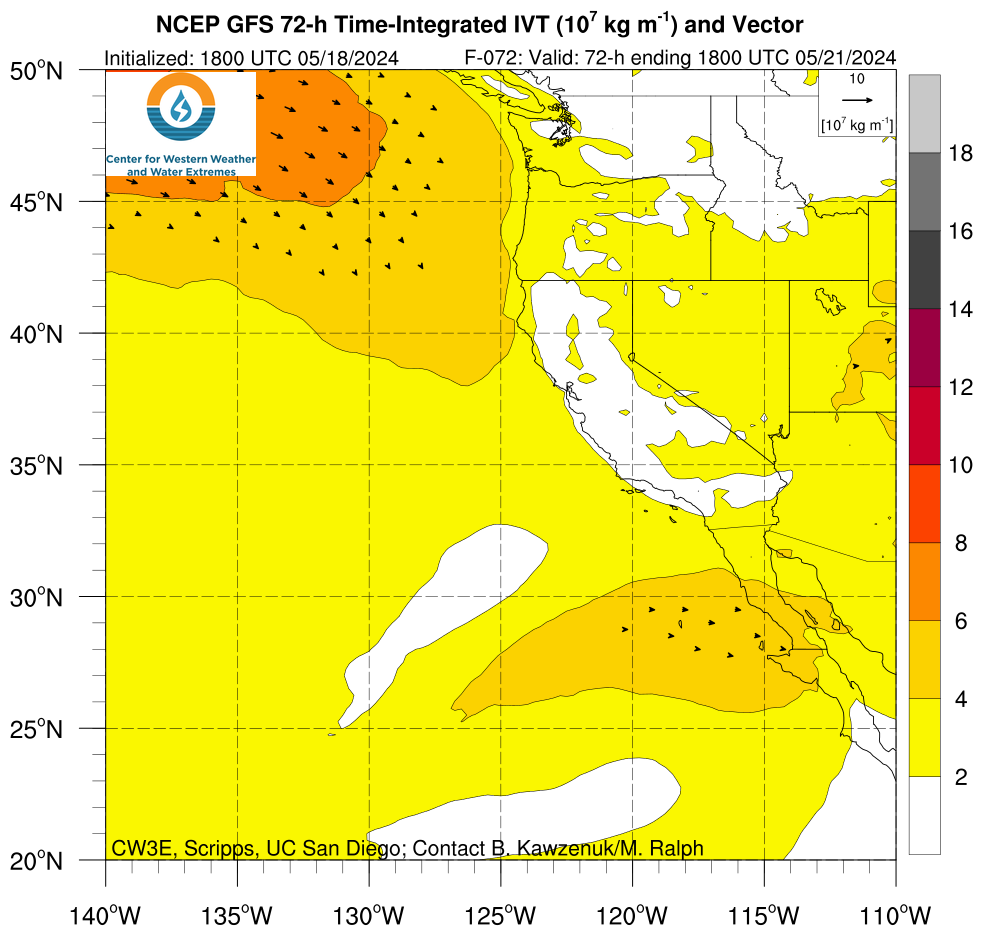
Click on an image to view forecast maps of integrated water vapor (IWV), integrated water vapor transport (IVT), and time integrated water vapor transport (TIVT) from the NCEP GFS, NAM, or West-WRF at various lead times and various domains.
 |
 |
 |
 |
 |
|
 |
 |
 |
 |
 |
|
 |
 |
 |
|||
Ensemble Forecast Products
 |
 |
||||
 |
 |
 |
|||
Vertical Cross Sections
 |
 |
 |
 |
West-WRF Forecasts
West-WRF is a regional weather prediction system run at CW3E. Click on an image to see the full suite of West-WRF forecasts.
 |
 |
 |
 |
 |
 |
NCEP Forecast Models
Click an image to see various forecasts on multiple domains from the NCEP GFS and NAM.
 |
 |
 |
 |
Precipitation Forecasts
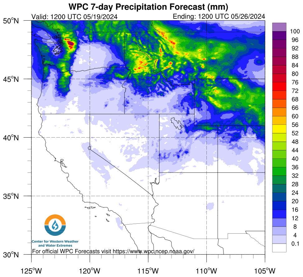
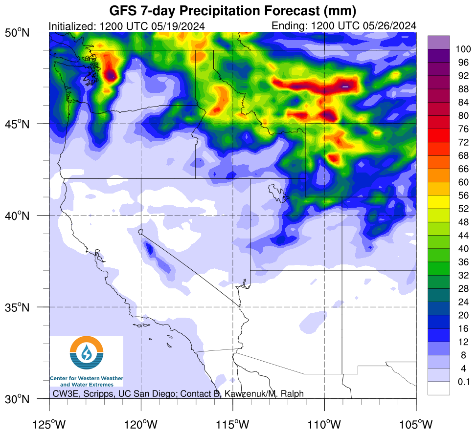
Precipitation forecasts are available from the GFS and WPC at various accumulation periods, as well as 3-hourly precipitation from the West-WRF. A long range outlook produced using historical data is available to determine the odds of reaching normal water year precipitation totals.
 |
 |
 |
Forecast Verification
AR Landfall MET/MODE Verification Tool: Various gridded forecasts of AR objects and precipitation are compared to observations using MODE.
 |
 |
 |
 |
