CW3E at Northern California Post-Wildfire Processes Meeting
November 12, 2019
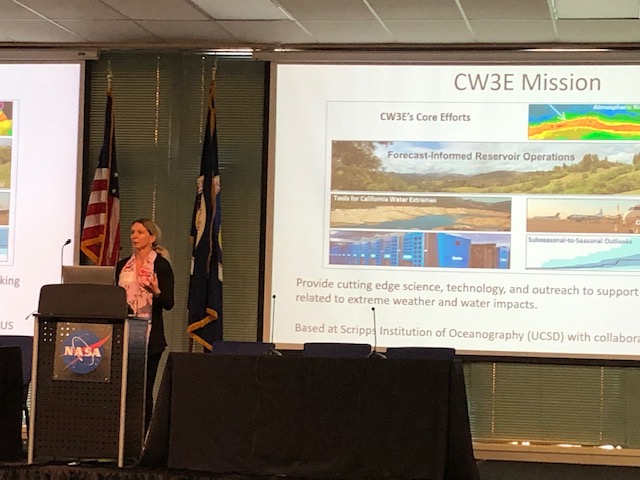
On November 6, representatives from the US Geological Survey, Pacific Gas & Electric, Caltrans, the National Weather Service, NASA, Infraterra, CalOES, Sonoma Water, California Dept. of Water Resources, and CW3E met at Moffett Field to share each organization’s current activities and coordinate on future efforts with respect to post wildfire processes (e.g., debris flow and flash flood hazards on recent burn areas, water quality issues, and reservoir sedimentation concerns). CW3E affiliate Nina Oakley presented on current CW3E efforts to improve understanding and monitoring of atmospheric rivers as wells as ongoing research on predictability and drivers of short-duration precipitation extremes in California.
The meeting helped to facilitate partnerships between agencies and illuminate opportunities to leverage technologies and observations across groups. A pilot project on the Kincade Fire (Sonoma County) was discussed. This effort would experiment with state-federal-private partnerships in response to a recently burned area, with a goal of producing high-quality mapping, modeling, and monitoring that could support increased awareness of hazards and mitigation of impacts for that area.
CW3E’s various monitoring activities, including Atmospheric River Reconnaissance, AQPI, and observations in the Russian River Basin associated with Forecast Informed Reservoir Operations, as well as the Center’s specialized knowledge of northern California precipitation extremes, could support the pilot project.


