CW3E AR Update: 14 September 2020 Outlook
September 14, 2020
Click here for a pdf of this information.
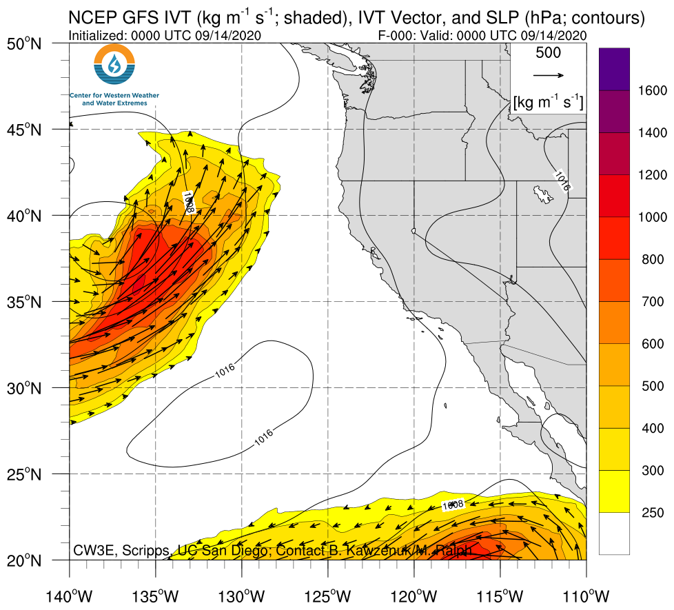
Update on the Atmospheric River forecast to make landfall over the Pacific Northwest
- An AR that is forecast to make landfall early this week could bring much needed precipitation to parts of Washington, Oregon, and potentially Northern California.
- As time has progressed closer to verification, ensemble agreement associated with AR landfall timing and initial IVT magnitude has increased.
- The parent low pressure system is forecast to cut off from the upper-level flow and become quasi-stationary off the PNW coast.
- Forecast duration of the event is currently exhibiting larger uncertainties as the cut-off low remains off the coast and moves higher IVT magnitudes onshore.
- Forecast precipitation accumulations from the Weather Prediction Center have primarily decreased since our last outlook, though the ECMWF has trended towards a larger event (max. precip. accumulations of 1.5–2.4 in. over Coastal OR and WA).
- Forecasts continue to suggest that a majority of CA will remain dry with lighter precipitation rates over far Northern CA.
Click IVT image to see loop of GFS analyses/forecasts Valid 0000 UTC 14 September – 0000 UTC 24 September 2020 |
|
 |
 |
Summary provided by C. Hecht, B. Kawzenuk, C. Castellano, J. Kalansky, and F. M. Ralph; 14 September 2020
*Outlook products are considered experimental
