CW3E AR Update: 21 September 2020 Outlook
September 21, 2020
Click here for a pdf of this information.
Update on potentially strong atmospheric river forecast to impact the Pacific Northwest
- Forecast agreement between models and ensemble members has increased in the magnitude, duration, and location of AR conditions in association with the potentially strong AR forecast to make landfall this week
- Forecasts of the strongest IVT magnitudes have shifted further south where AR 5 conditions are now forecast to impact Northern Oregon
- Although AR 5s are often hazardous later in the season, given early season conditions (dry soils, low streamflow) this AR is unlikely to produce hazardous impacts
- Ensemble probabilities of strong AR conditions (IVT magnitudes >750 kg m–1 s–1) have also increased over portions of the PNW
- Model forecasts of precipitation accumulations have increased for portions of the Cascade, Olympic, and Coastal Mountains, though there is still some model-to-model disagreement in exact accumulation
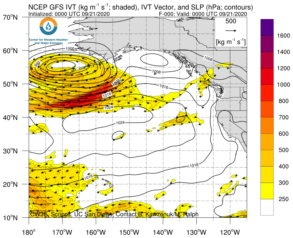
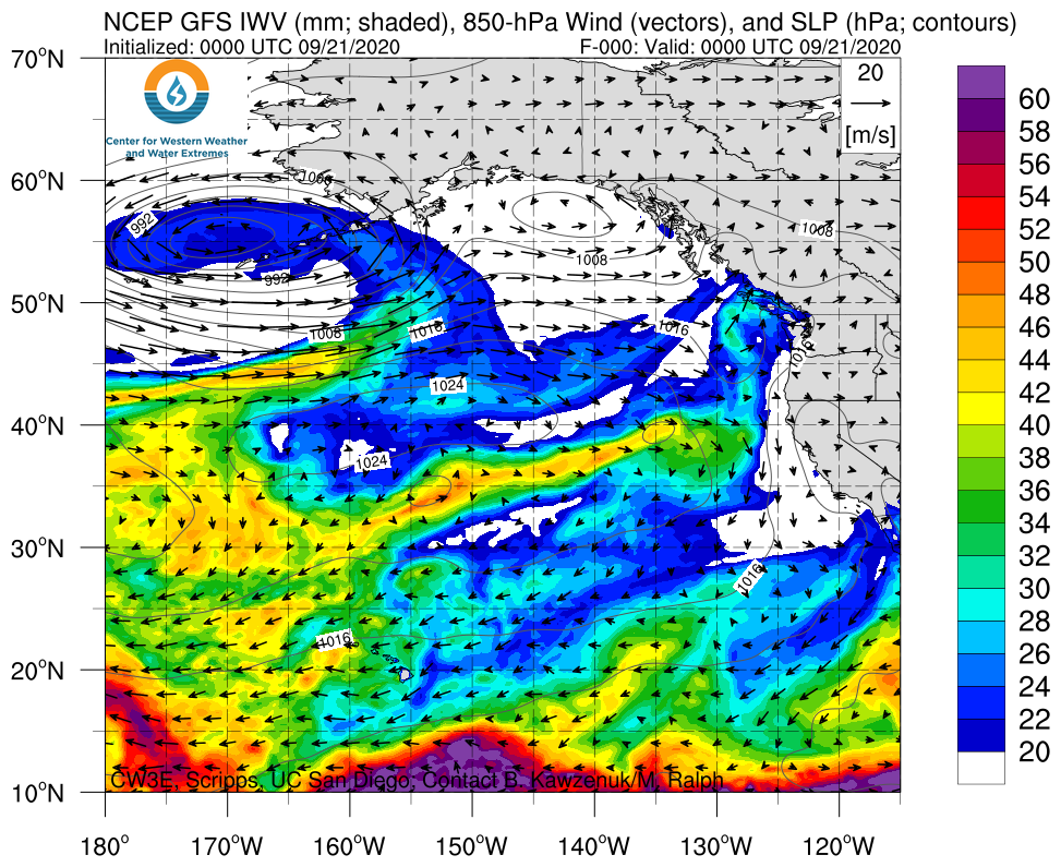
Click images to see loops of GFS IVT/IWV analyses and forecasts Valid 0000 UTC 21 September – 0000 UTC 01 October 2020 |
|
 |
 |
Summary provided by C. Hecht, C. Castellano, B. Kawzenuk, N. Oakley, J. Kalansky, and F. M. Ralph; 21 September 2020
*Outlook products are considered experimental
