CW3E AR Update: 22 December 2020 Outlook
December 22, 2020
Click here for a pdf of this information.
Multiple storms forecast to bring precipitation to the Western U.S. over the next 7 days
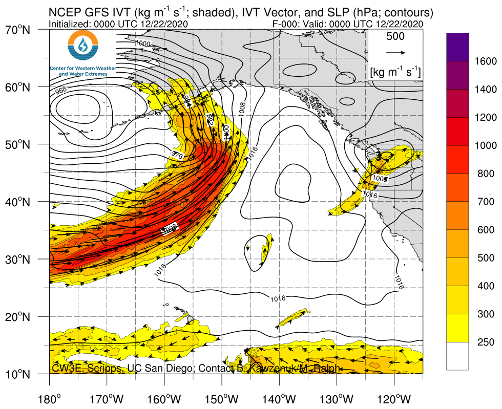
- An atmospheric river (AR) associated with a surface cyclone is forecast to make landfall along the U.S. West Coast on 25–26 Dec
- A cutoff low may bring additional impacts to the southwestern U.S. on 28–29 Dec, but forecast uncertainty is currently high
- The GFS and ECMWF are forecasting more than 2 inches of precipitation over portions of the Pacific Coast Ranges and Cascades during the next 7 days
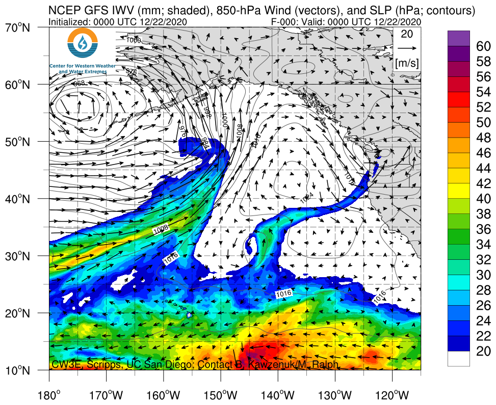
Click images to see loops of GFS IVT & IWV forecasts Valid 0000 UTC 22 December – 0000 UTC 30 December 2020 |
|
 |
 |
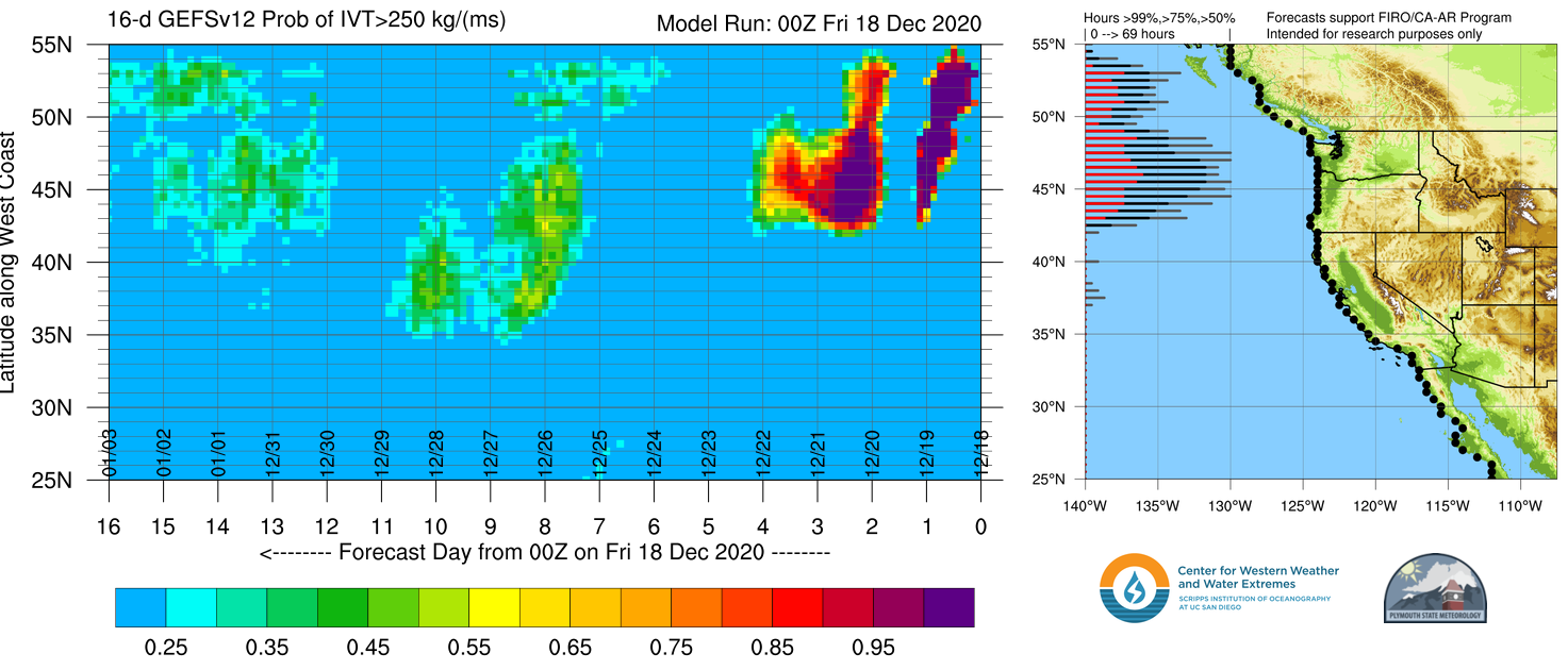
Probability of AR Conditions Along Coast: dProg/dt
Model Runs: 00Z 18 Dec 2020 – 00Z 22 Dec 2020 (every 12 h)

Summary provided by C. Castellano, J. Kalansky, and F. M. Ralph; 22 December 2020
*Outlook products are considered experimental


