CW3E AR Update: 3 April 2020 Outlook
April 3, 2020
Click here for a pdf of this information.
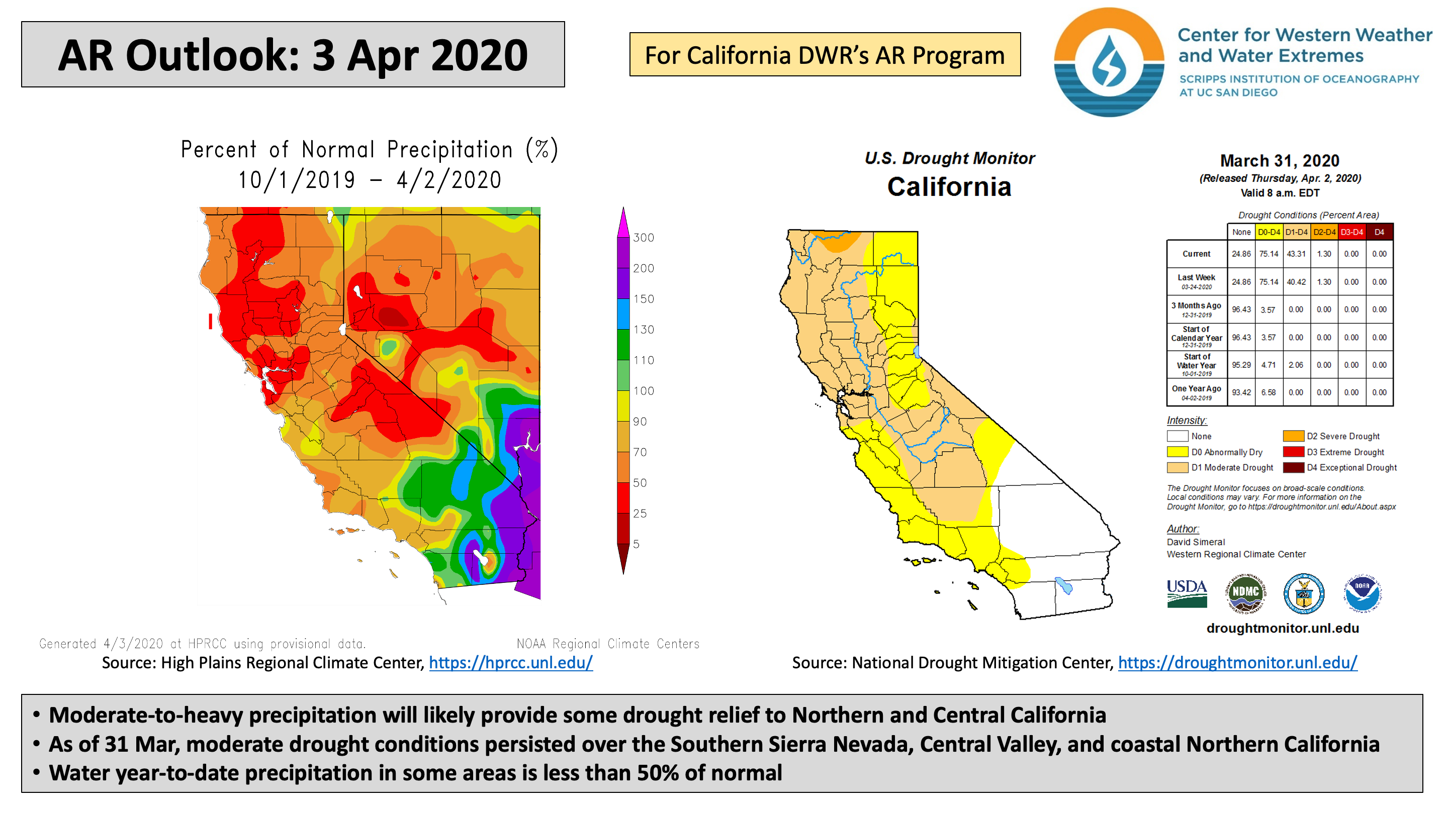
An upper-level trough and a landfalling AR will bring rainfall and mountain snowfall to California
- An amplifying upper-level trough will form a closed low as it slowly moves along the U.S. West Coast
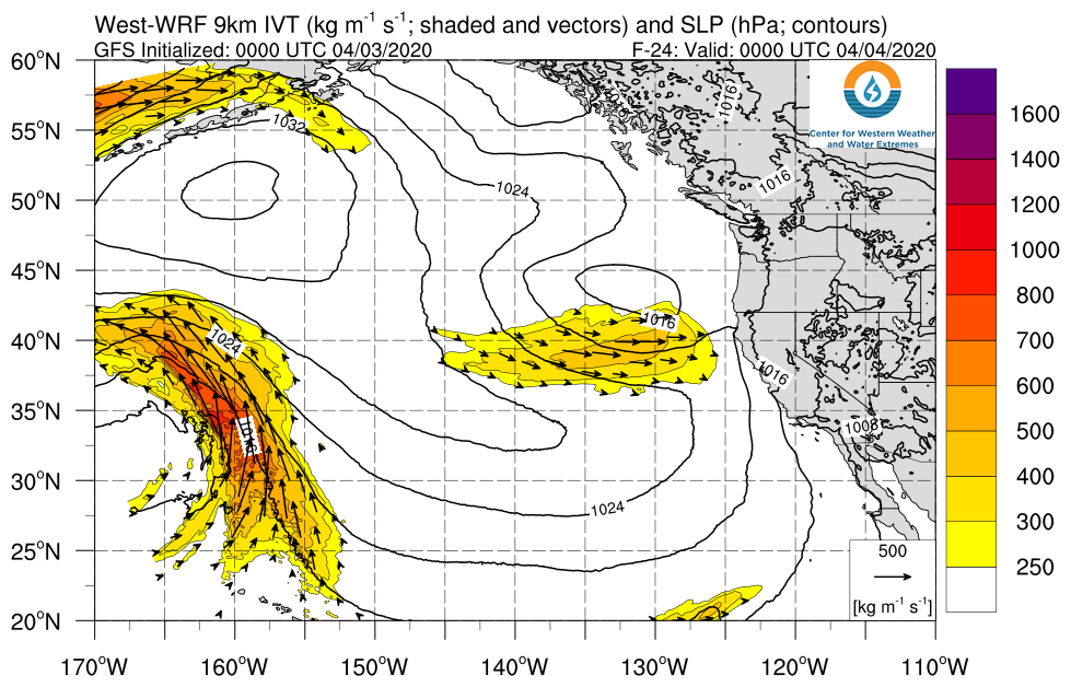
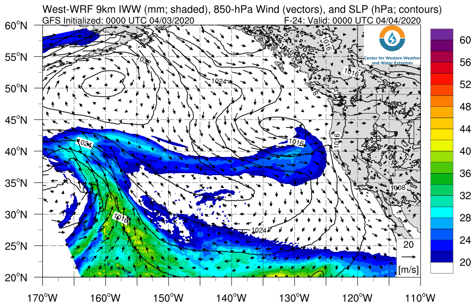
- A weak AR is forecast to develop south of the trough and bring AR conditions to Central and Southern California
- Moderate rainfall (0.5–2 inches) is expected at lower elevations, with higher amounts (2–4 inches) in the Northern California Coast Ranges, Klamath Mountains, and Southern California Transverse Ranges
- The heaviest precipitation (3–5 inches) is expected over the Sierra Nevada, with 2–4 feet of snow possible in some areas
Click IVT or IWV image to see loop of GFS analyses/forecasts Valid 0000 UTC 4 April – 0000 UTC 8 April 2020 |
|
 |
 |
Summary provided by C. Castellano, C. Hecht, and F. M. Ralph; 3 April 2020
*Outlook products are considered experimental


