CW3E AR Update: 7 April 2020 Summary
April 7, 2020
Click here for a pdf of this information.
A weak but seasonally anomalous atmospheric river brought precipitation to a large portion of California
- Numerous coastal locations experienced IVT magnitudes >250 kg m–1 s–1 for <24 hours during this event
- This is the third time since 2000 that San Diego has experienced IVT >250 kg m–1 s–1 during an AR in the first week of April
- Numerous high elevation locations across California received >2 feet of snow in association with this AR
- Lower elevations across much of the state have received 0.75 to 1.5 inches of liquid precipitation
- As the large-scale system begins to weaken and propagate inland, it is forecast to bring additional precipitation to portions of Southern California
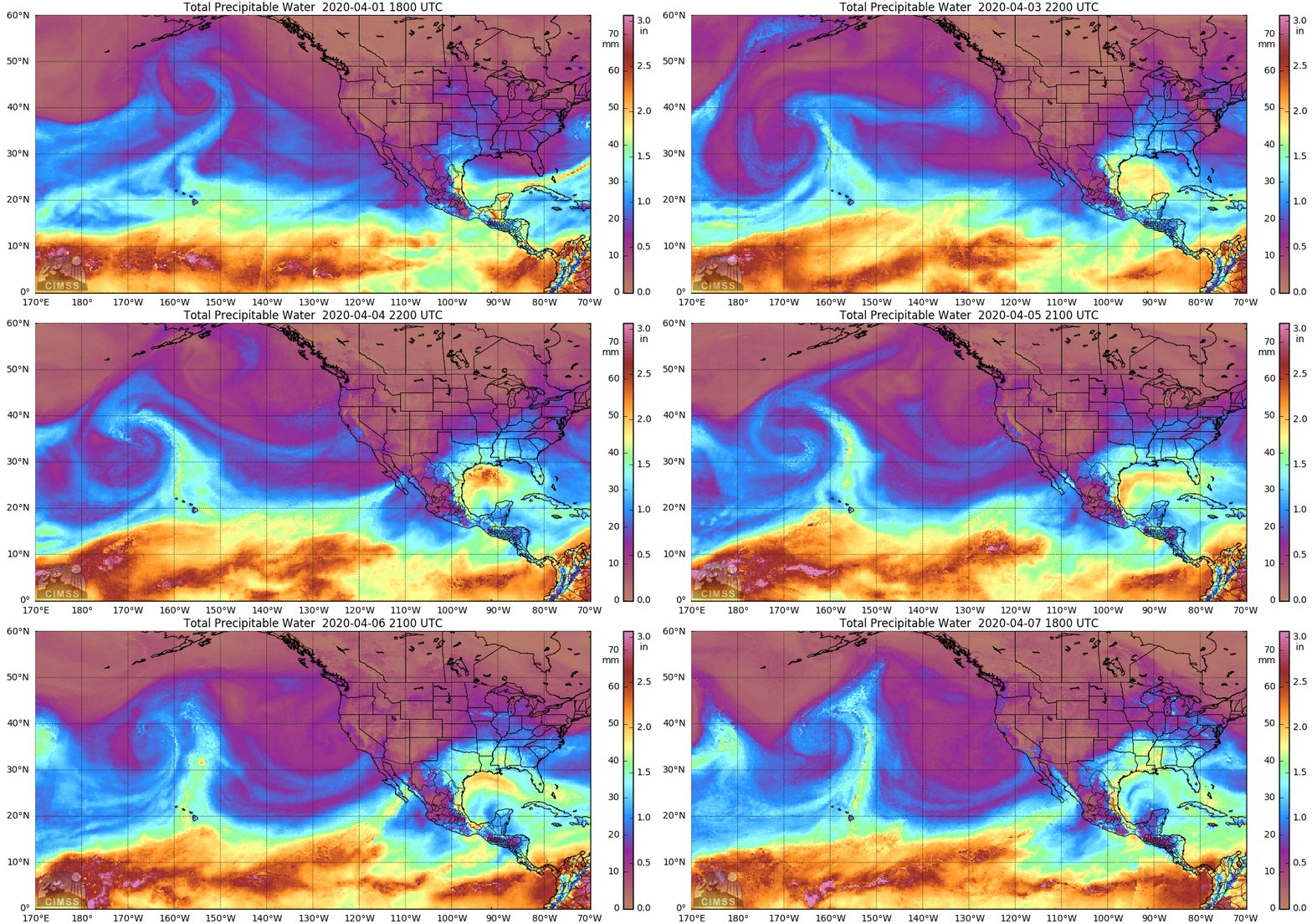
SSMI/SSMIS/AMSR2-derived Integrated Water Vapor (IWV)
Valid 0000 UTC 3 April – 1800 UTC 7 April 2020
Images from CIMSS/Univ. of Wisconsin
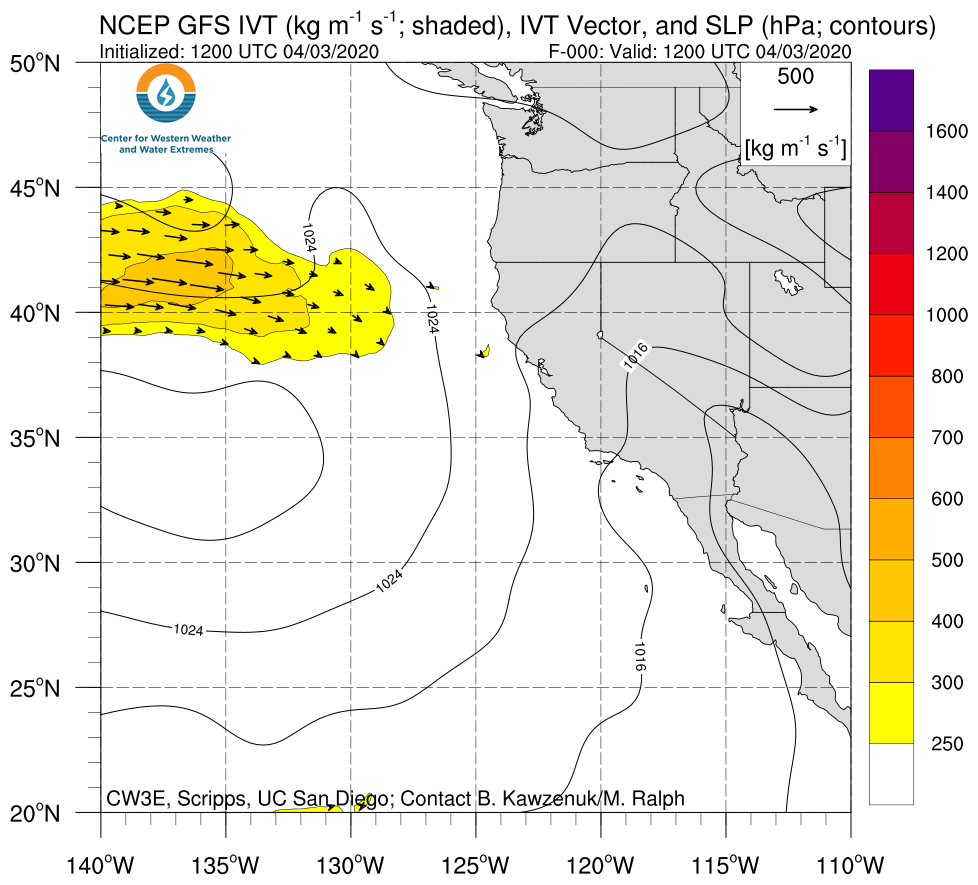
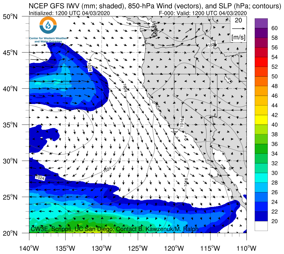
Click IVT or IWV image to see loop of GFS Analysis Valid 1200 UTC 3 April – 1200 UTC 7 April 2020 |
|
 |
 |
Summary provided by C. Hecht, C. Castellano, Z. Zhang, J. Kalansky, and F. M. Ralph; 4 PM PT 7 April 2020

