CW3E AR Update: 8-10 January 2018 Post Event Summary
January 8, 2018
Click here for a pdf of this information.
Atmospheric river conditions brought widespread precipitation throughout California
- A low pressure system developed off the CA coast on 7 January and interacted with tropical moisture to produce heavy precipitation over nearly all of CA
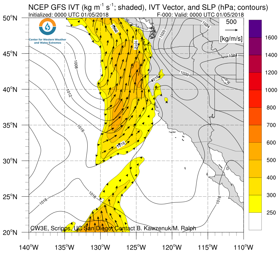
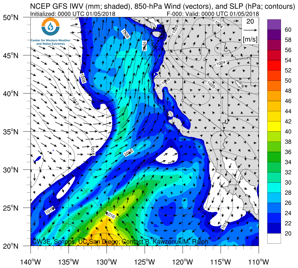
- Nearly all of CA experienced AR conditions (IVT >250 kg m-1 s-1 and IWV >20 mm) for ~24 hours
- The highest precipitation amounts were observed over the Coastal and Transverse Ranges, with some locations receiving over 200 mm of precipitation, making this and R-Cat 1 event
Click IVT or IWV image to see loop of GFS analysis Valid 0000 UTC 5 January – 0000 UTC 10 January 2018 |
|
 |
 |
SSMI/SSMIS/ARMSR2-Derived Integrated Water Vapor (IWV)
Valid 0000 UTC 7 January – 1200 UTC 10 January 2018
NEXRAD Radar Reflectivity
Valid 0000 UTC 8 January – 1200 UTC 10 January 2018
Summary provided by B. Kawzenuk and F.M. Ralph; 12 PM PT Thursday 11 January 2018


