CW3E Event Summary: 1-7 January 2021
January 8, 2021
Click here for a pdf of this information.
Active weather pattern produces an extremely wet start to 2021 in the Pacific Northwest
- Several ARs associated with a series of storms over the Northeast Pacific Ocean impacted the Pacific Northwest during the first week of 2021
- These storms produced at least 2–7 inches of total precipitation in northwestern California, western Oregon, and western Washington, with the highest amounts (> 10 inches) in the Olympic Mountains and North Cascades
- More than 5 feet of snow fell in parts of the Olympic Mountains and Washington Cascades
- Total water-year-to-date precipitation remains well-below normal across much of the western U.S.
MIMIC-TPW2 Total Precipitable Water
Valid 0000 UTC 1 January – 0000 UTC 7 January
Images from CIMSS/University of Wisconsin
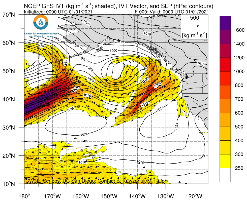
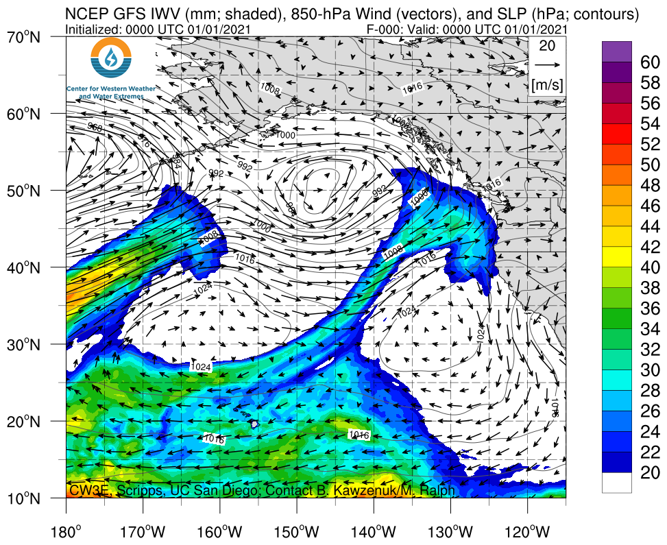
Click images to see loops of GFS IVT/IWV analyses Valid 0000 UTC 1 January – 0000 UTC 7 January |
|
 |
 |
Summary provided by C. Castellano, J. Kalansky, N. Oakley, and F. M. Ralph; 8 January 2021


