CW3E Event Summary: Heavy Rainfall in Arizona
September 19, 2023
Click here for a pdf of this information.
A Fall “Transition” Monsoon Event Brings Heavy Rain to Parts of Arizona
- On September 12-13, 2023, a deep southwesterly flow of moist air was directed into Arizona, ahead of an advancing upper level trough.
- This setup was a classic “Transition” monsoon event, signified by the transition from the hot, humid active summer into quieter fall months. Synoptic conditions for transition events are distinctly different from typical monsoon events when high pressure is overhead. While precipitation trends down in September, the combination of summer moisture and fall dynamics can result in significant rainfall events. The pattern resulted in persistent convection near and just east of the Phoenix area.
- The Southwest Monsoon runs from June 15 through September 30.
- Heavy precipitation fell over the Salt River watershed in central Arizona, with some locations receiving more than 20% of the normal total water year precipitation in a 24-hour period.
- In excess of 6” of rain fell near Roosevelt, AZ. The Return Interval (Annual Probability) of 5.5”/6 hr is over 1000 years (<0.1%). For a nearby COOP station (Roosevelt 1 S, 1905+), the all-time 1-day record is 4.14" (1978-03-02). For comparison the average annual precipitation total is 15.91”.
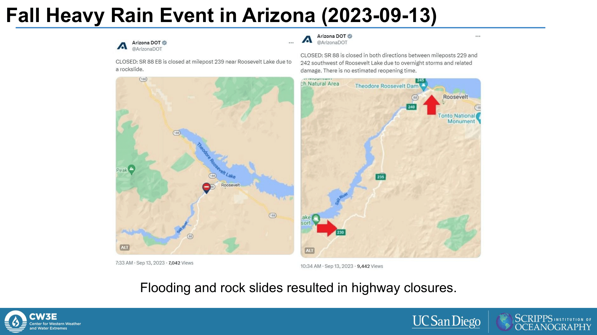
- The heavy rain resulted in flooding and rock slides, causing at least one highway to close.
- IVT tools (based on the GEFS) indicated the potential for this notable moisture flux days in advance.
Summary provided by P. Iñiguez, C. Castellano, J. Cordeira, and M. Ralph; 19 September 2023
To sign up for email alerts when CW3E post new AR updates click here.


