CW3E Post Event Summary: 02 February 2019 AR
February 7, 2019
Click here for a pdf of this information.
Overview of Meteorological Conditions
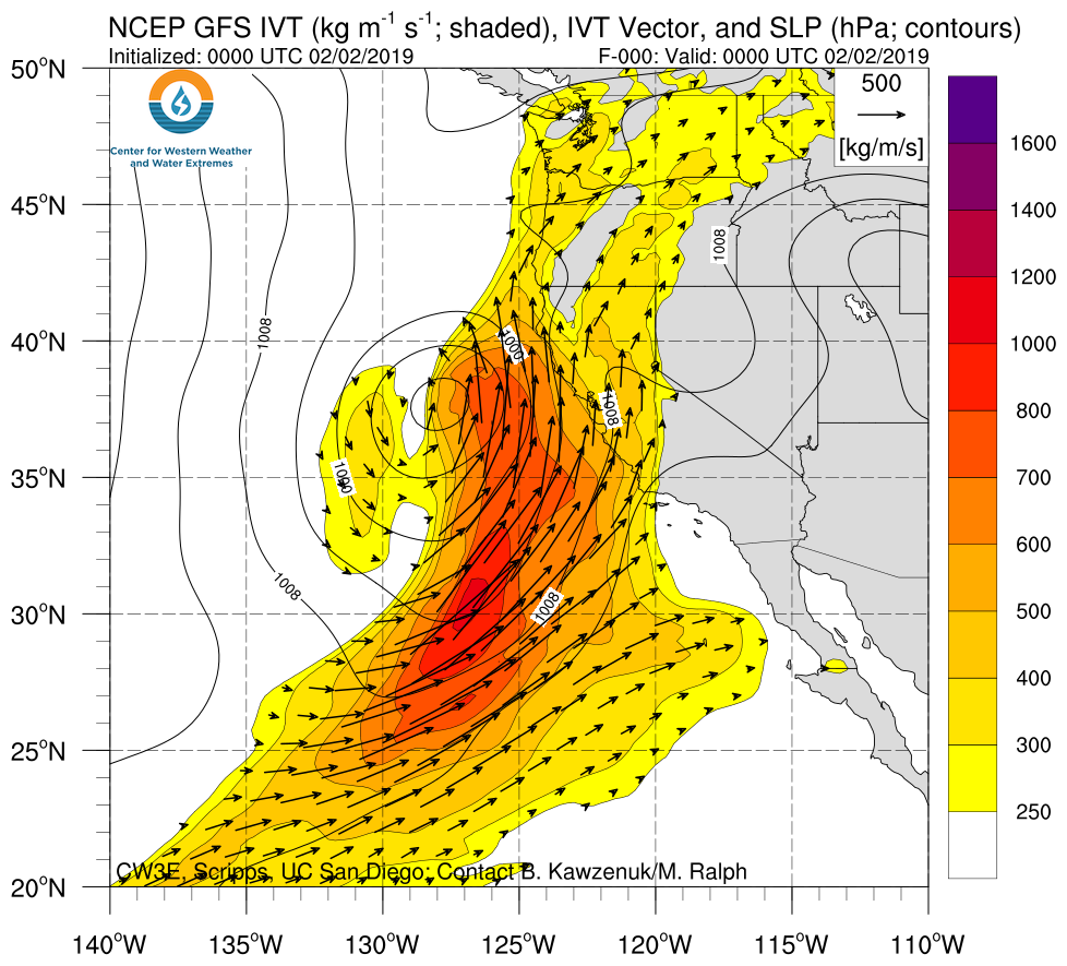
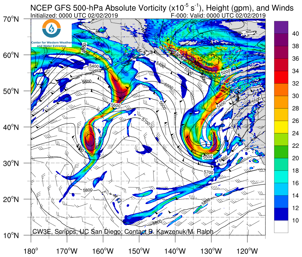
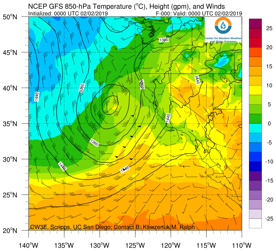
Click an image to see loop of GFS Analysis Valid 0000 UTC 2 February – 1200 UTC 6 February 2019 |
||
 |
 |
 |
- An Atmospheric River and concomitant low-pressure system made landfall over CA on 02 February 2019
- Once AR conditions ended over CA on the 2nd, the low-pressure system became cut-off and remained over CA for several days
- Numerous 500-hPa shortwave troughs developed downstream of an Eastern Pacific ridge, providing successive “pulses” of positive vorticity advection, conducive to rising motion and the production of precipitation
- Strong cold air advection associated with this event led to cold 850-hPa temperatures of 10 to -10˚C across the West Coast
- These conditions led to an extended period of snow over the Sierra resulting in considerable snow accumulations
Summary provided by C. Hecht, B. Kawzenuk, J. Kalansky, and F. M. Ralph; 10 AM PT 07 February 2019
