CW3E Precipitation Update: 12 March 2020 Outlook
March 12, 2020
Click here for a pdf of this information.
A slow moving cutoff low pressure system is forecast to impact California for an extended period
- A Cutoff low is forecast to form off the Pacific Northwest Coast around 00 UTC 15 March (5 PM PDT 14 March 2020)
- The cutoff low is forecast to propagate slowly down the U.S. West Coast, bringing an extended period of precipitation to CA
- Portions of the Northern Sierra could receive as much as 5 inches of precipitation, potentially resulting in multiple feet of snow
- Due to an extended dry period in the previous several weeks, this forecast precipitation could bring some much needed relief to drought conditions across much of the state
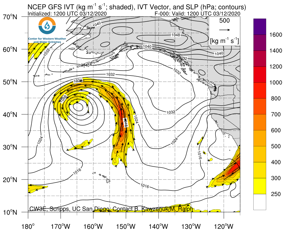
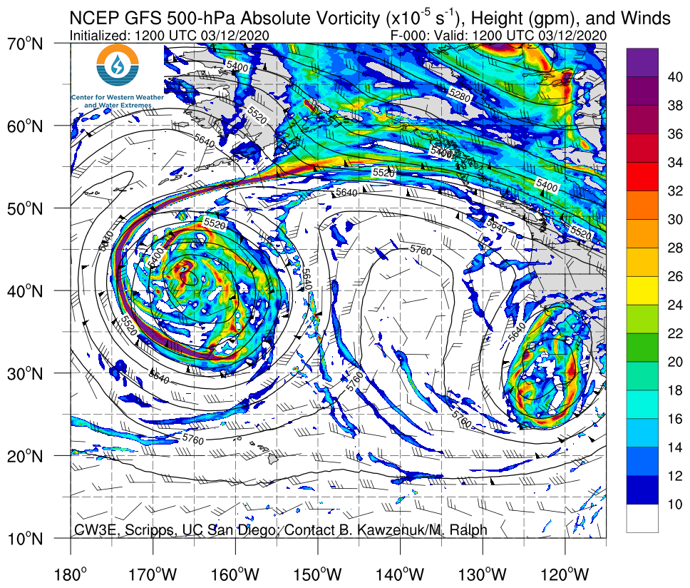
Click IVT or 500-hPa Vorticity image to see loop of GFS forecasts Valid 1200 UTC 12 March – 1200 UTC 20 March 2020 |
|
 |
 |
Summary provided by C. Castellano, C. Hecht, and F. M. Ralph; 12 March 2020
*Outlook products are considered experimental
