CW3E AR Update: 04 April 2017 Outlook
April 04, 2017
Click here for a pdf of this information.
AR conditions Forecast for Entire U.S. West Coast
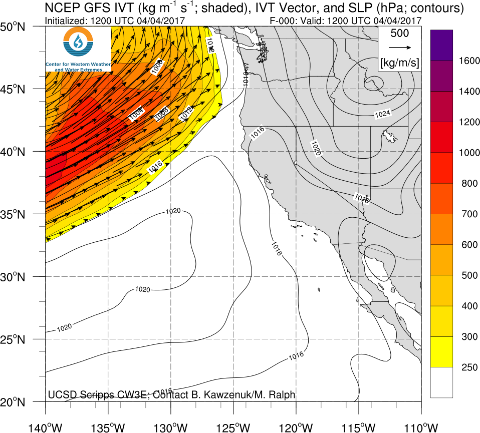
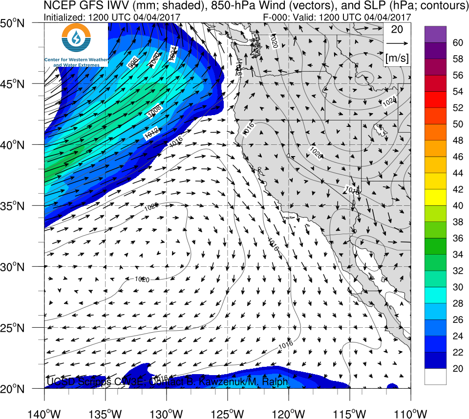
- An AR is currently impacting the Pacific Northwest while another AR is forecast to make landfall over Northern CA on Thursday
- A mesoscale frontal wave that develops during the second AR could prolong the duration of AR conditions but uncertainty is currently high
- 1–5 day precipitation forecasts are >6 inches over the high elevations of the Coastal Mts., Northern Sierra Mts., and Trinity Alps
- Freezing levels are forecast to start at ~7,000 feet before dropping to ~3,000 feet, causing this to be a snow event for higher elevations
- Wet soil and the potential for rain on snow at lower elevations raises the concern for flooding in eastern California and northern Nevada
Click IVT or IWV image to see loop of 0-114 hour GFS forecast Valid 1200 UTC 04 April – 0600 UTC 09 April 2017 |
|
 |
 |
Summary provided by C. Hecht and F.M. Ralph; 1 PM PT Tuesday 04 April 2017
