CW3E AR Update: 10 December 2021 Outlook
December 10, 2021
Click here for a pdf of this information.
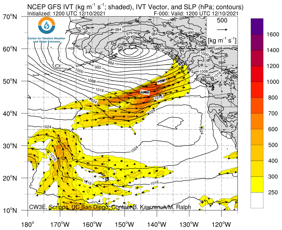
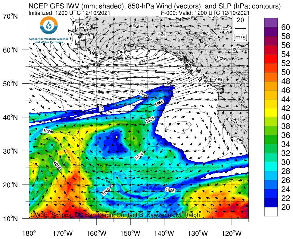
A long duration atmospheric river is forecast to bring substantial snowfall to the West Coast’s mountains this weekend and into next week
- The AR is forecast to initially make landfall over the Pacific Northwest on Saturday morning, bringing IVT magnitudes between 600 and 700 kg/ms to coastal Washington and Oregon
- The AR is then forecast to weaken as it moves southward over the coast, eventually bringing weak AR conditions to the San Francisco Bay Area before stalling
- As the weak AR is stalled over the Northern California Coast, a separate frontal system is forecast to merge with the weak AR, intensifying and prolonging AR conditions over the region
- The GEFS is currently exhibiting high ensemble spread in association with the merger of the two separate systems over Northern California, resulting in high uncertainty in timing and magnitude of the re-intensification of the AR and the overall duration of the event
- The combination of low-freezing levels and the long duration of the event will result in substantial snowfall of 5 – 8 feet over the Sierra Nevada, resulting in treacherous travel conditions but an extremely beneficial contribution to the depleted California snowpack
Click images to see loops of GFS IVT & IWV forecasts Valid 1200 UTC 10 December – 0000 UTC 20 December 2021 |
|
 |
 |
Summary provided by C. Hecht, C. Castellano, S. Roj, B. Kawzenuk, J. Kalansky, and F. M. Ralph; 10 December 2021
To sign up for email alerts when CW3E post new AR updates click here.
*Outlook products are considered experimental
