CW3E AR Update: 24 February 2022 Outlook
February 24, 2022
Click here for a pdf of this information.
Multiple Atmospheric Rivers to Impact the US West Coast
- Multiple atmospheric rivers (AR) are forecasted to make landfall over the US West Coast this weekend into early next week
- The first AR is forecasted to make landfall on 26 Feb and bring AR 1-2 conditions (based on the Ralph et al. 2019 AR Scale) to coastal Washington and Oregon
- A second and stronger AR is forecasted to make landfall on 27 Feb, but there is substantial uncertainty in the timing, location, and duration of AR conditions
- The 00Z ECMWF EPS is forecasting the second AR to make landfall earlier and bring stronger AR conditions to southern Oregon and far Northern California
- The 00Z GEFS is forecasting the second AR to make landfall later and bring stronger AR conditions to northern Oregon and southern Washington
- Heavy precipitation is possible in western Washington, western Oregon, and far northwestern California during the next 7 days, but models disagree on the location of the heaviest precipitation associated with the second AR
- Compared to the 12Z GFS, the 12Z ECMWF is forecasting much higher precipitation in southwestern Oregon and northwestern California, and much lower precipitation in western Washington
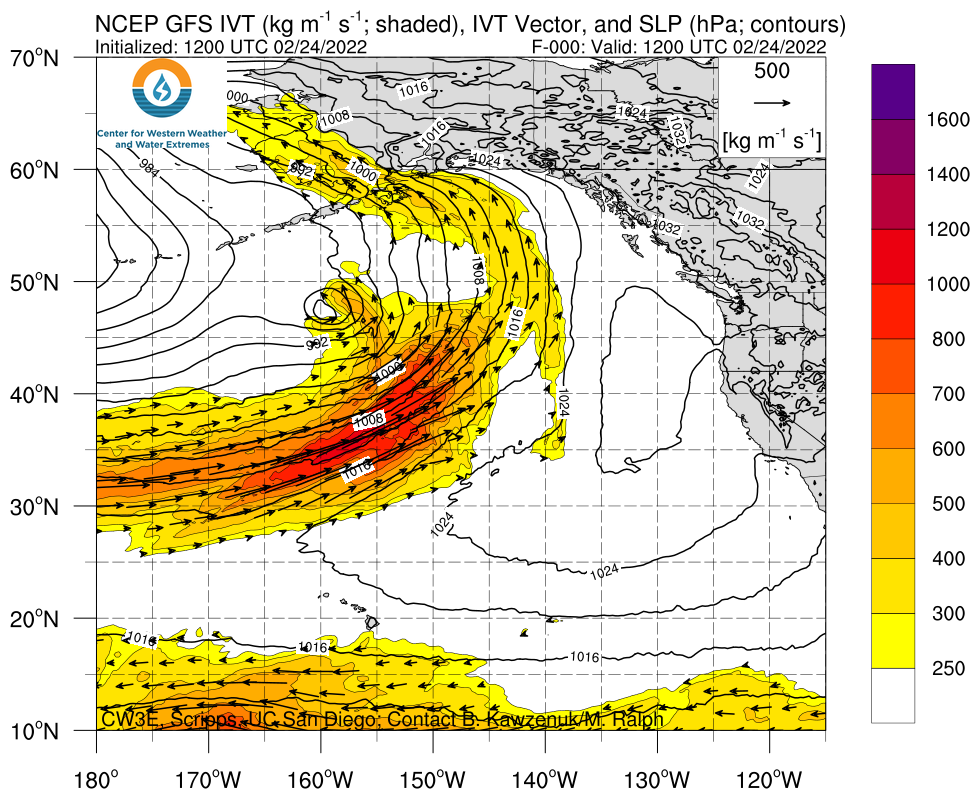
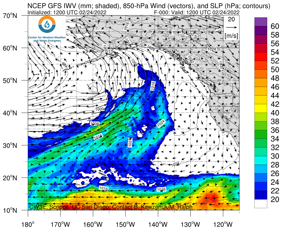
Click images to see loops of GFS IVT & IWV forecasts Valid 1200 UTC 24 February – 0000 UTC 4 March 2022 |
|
 |
 |
Summary provided by C. Castellano, S. Roj, B. Kawzenuk, and F. M. Ralph; 24 February 2022
To sign up for email alerts when CW3E post new AR updates click here.
*Outlook products are considered experimental


