CW3E AR Update: 4 January Outlook
January 4, 2019
Click here for a pdf of this information.
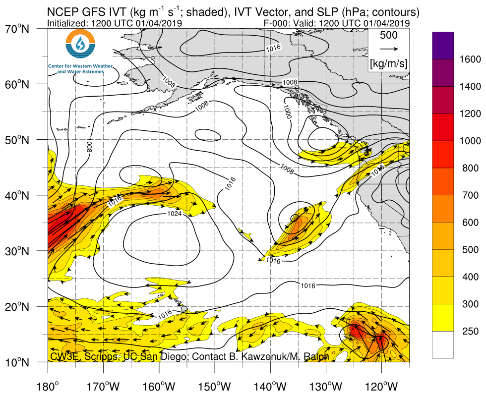
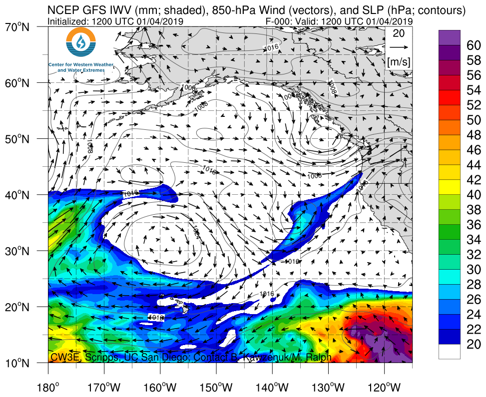
Multiple ARs forecast impact the US West Coast over the next several days
- An AR is currently impacting the Pacific Northwest, bringing heavy rain and strong winds
- As much as 5 inches of precipitation has fallen over portions of the Pacific Northwest over the past 24 hours
- Another system is forecast to develop along the cold front of the current AR, which will make landfall over Northern CA
- As much as 9 inches of precipitation is forecast to fall over the higher elevations of Northern CA over the next 6 days
- Forecast confidence in onset, duration, and magnitude of additional ARs (days 3+) is currently low
Click IVT or IWV image to see loop of 0-180 hour GFS forecasts Valid 1200 UTC 4 January – 0000 UTC 12 January 2019 |
|
 |
 |
Summary provided by C. Hecht, B. Kawzenuk, and F. M. Ralph; 1 PM PT 4 January 2019
