CW3E AR Update: 7 March Outlook
March 7, 2018
Click here for a pdf of this information.
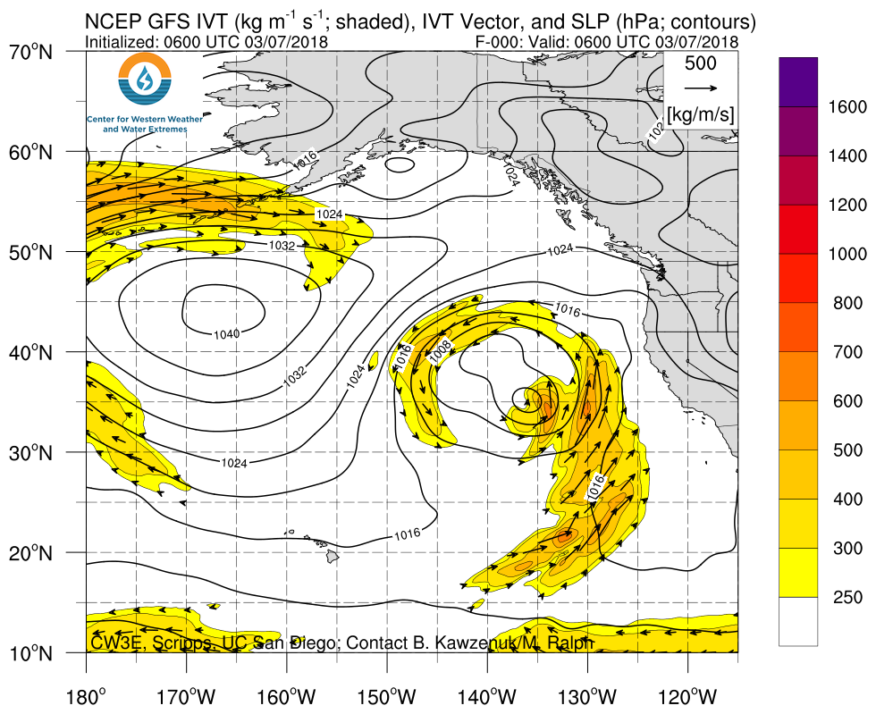
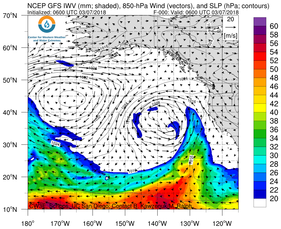
Weak Atmospheric River expected to impact the U.S. West Coast this week
- A weak or potentially moderate AR is expected to make landfall over northern CA and the Pacific Northwest on 8 March 2018
- This AR will produce precipitation over the Pacific Northwest and northern CA over the next three days
- Precipitation amounts during this event are not expected to be extreme, with the highest accumulations predicted to be less than 3 inches
Click IVT or IWV image to see loop of 0-78 hour GFS forecast Valid 0600 UTC 7 March – 1200 UTC 10 March 2018 |
|
 |
 |
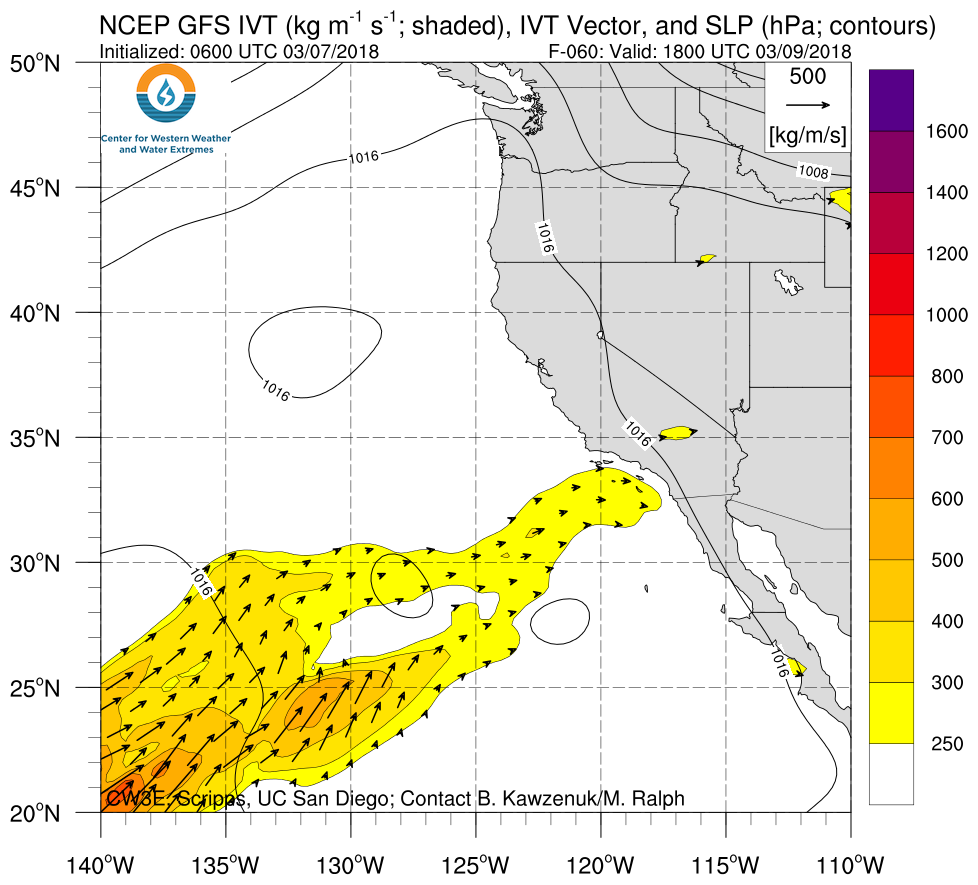
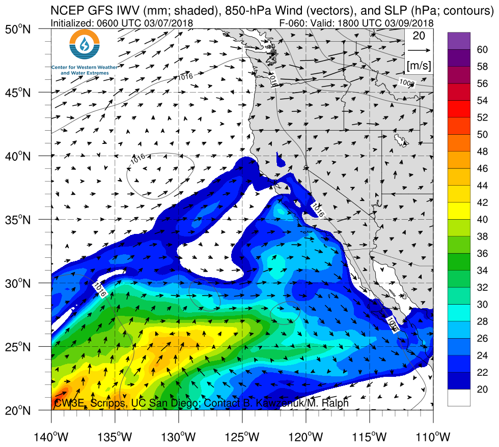
A second AR is expected to make landfall this weekend
- A second weak Atmospheric River is expected to make landfall over southern CA and Baja CA on 10 March 2018
- This AR is expected to produce precipitation over the southern CA with two day accumulations of less than 1 inch
Click IVT or IWV image to see loop of 60-120 hour GFS forecast Valid 1800 UTC 9 March – 0600 UTC 12 March 2018 |
|
 |
 |
Summary provided by B. Kawzenuk, J. Kalansky, and F.M. Ralph; 12 PM PT Wednesday 7 March 2018
*Outlook products are considered experimental
