CW3E Welcomes Wen-Shu Lin

CW3E Welcomes Wen-Shu Lin

April 9, 2020

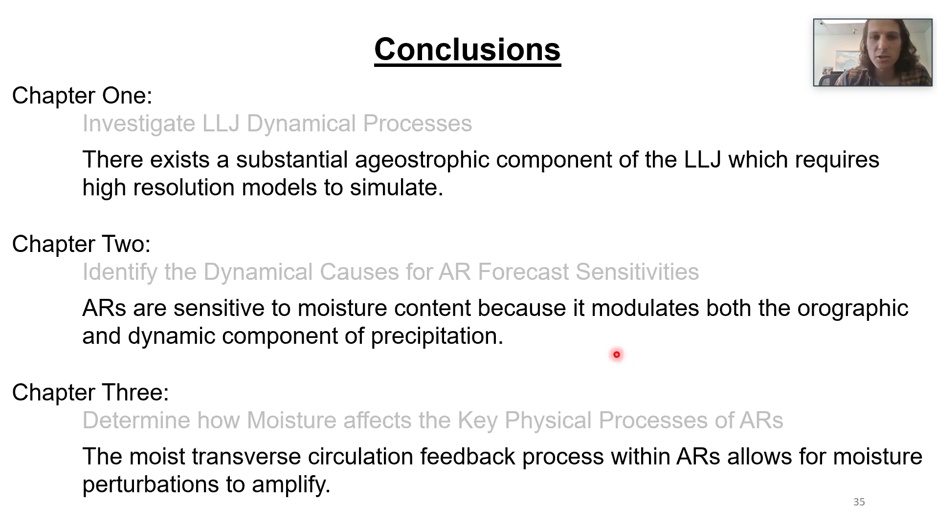
Wen-Shu Lin joined CW3E as a graduate student in the fall of 2019 after receiving her B.S. from National Taiwan University with a major in Atmospheric Science. During her undergraduate research she investigated the connections between large-scale sea surface temperatures, precipitation, and atmospheric circulations under varying stages of global warming. Her results illustrated that while there are some known patterns of future warming, regional variability among climate models is large, and at times, provides outputs of varying sign and direction. These discrepancies among climate models has sparked her interest in regional climate and she will look to continue that work at SIO and CW3E.

At CW3E, under the direction of co-advisors Joel Norris and F. Martin Ralph, she will continue her research into climate variabilities, coupled atmosphere-ocean interactions, and atmospheric dynamics. Her research will focus on closing the gap between weather and climate, specifically focused on the predictability of atmospheric rivers and regional climate on subseasonal-to-seasonal time scales.

Distribution of Landfalling Atmospheric Rivers over the U.S. West Coast during Water Year 2020: October through March Update

Distribution of Landfalling Atmospheric Rivers over the U.S. West Coast during Water Year 2020: October through March Update

April 8, 2020

For a pdf of this information click here.


More information on water year precipitation and odd’s of reaching normal accumulations can be found here


Analysis by Chad Hecht & F. Martin Ralph. This analysis is considered experimental. For questions regarding the data or methodology please contact Chad Hecht

CW3E AR Update: 7 April 2020 Summary

CW3E AR Update: 7 April 2020 Summary

April 7, 2020

Click here for a pdf of this information.

A weak but seasonally anomalous atmospheric river brought precipitation to a large portion of California

  • Numerous coastal locations experienced IVT magnitudes >250 kg m–1 s–1 for <24 hours during this event
  • This is the third time since 2000 that San Diego has experienced IVT >250 kg m–1 s–1 during an AR in the first week of April
  • Numerous high elevation locations across California received >2 feet of snow in association with this AR
  • Lower elevations across much of the state have received 0.75 to 1.5 inches of liquid precipitation
  • As the large-scale system begins to weaken and propagate inland, it is forecast to bring additional precipitation to portions of Southern California

SSMI/SSMIS/AMSR2-derived Integrated Water Vapor (IWV)

Valid 0000 UTC 3 April – 1800 UTC 7 April 2020

Images from CIMSS/Univ. of Wisconsin

Click IVT or IWV image to see loop of GFS Analysis

Valid 1200 UTC 3 April – 1200 UTC 7 April 2020


Summary provided by C. Hecht, C. Castellano, Z. Zhang, J. Kalansky, and F. M. Ralph; 4 PM PT 7 April 2020

CW3E AR Update: 3 April 2020 Outlook

CW3E AR Update: 3 April 2020 Outlook

April 3, 2020

Click here for a pdf of this information.

An upper-level trough and a landfalling AR will bring rainfall and mountain snowfall to California

  • An amplifying upper-level trough will form a closed low as it slowly moves along the U.S. West Coast
  • A weak AR is forecast to develop south of the trough and bring AR conditions to Central and Southern California
  • Moderate rainfall (0.5–2 inches) is expected at lower elevations, with higher amounts (2–4 inches) in the Northern California Coast Ranges, Klamath Mountains, and Southern California Transverse Ranges
  • The heaviest precipitation (3–5 inches) is expected over the Sierra Nevada, with 2–4 feet of snow possible in some areas

Click IVT or IWV image to see loop of GFS analyses/forecasts

Valid 0000 UTC 4 April – 0000 UTC 8 April 2020


Summary provided by C. Castellano, C. Hecht, and F. M. Ralph; 3 April 2020

*Outlook products are considered experimental

CW3E Publication Notice: Detection Uncertainty Matters for Understanding Atmospheric Rivers

CW3E Publication Notice

Detection Uncertainty Matters for Understanding Atmospheric Rivers

April 2, 2020

Indiana University assistant professor Dr. Travis O’Brien and co-authors recently published an article in the Bulletin of the American Meteorological Society (BAMS) titled “Detection Uncertainty Matters for Understanding Atmospheric Rivers”. Several members of CW3E contributed as co-authors to this work, including Christopher Castellano, Mike DeFlorio, Brian Kawzenuk, Allison Michaelis, and Zhenhai Zhang. This paper builds upon earlier atmospheric river detection tools (ARDT) work at CW3E: i.e., some of the ARDTs studied in ARTMIP were developed by CW3E scientists (Rutz et al. 2014; Mon. Wea. Rev. and Gershunov et al. 2017; Geophys. Res. Lett.), and CW3E scientists led or contributed to recent work comparing ARDTs [Shields et al. (2018; Geosci Model Dev.), Rutz et al. (2019; JGR-A) and Ralph et al. (2019; Clim. Dynam.) – see /publications/ for links to these papers].

The purpose of this BAMS article is to summarize the 3rd ARTMIP (Atmospheric River Tracking Method Intercomparison Project) Workshop (held during October 2019 at Lawrence Berkeley National Laboratory [LBL]), and to highlight current and emerging scientific endeavors related to atmospheric river (AR) detection and tracking. Many CW3E research and product development efforts rely on accurate and robust detection of ARs in order to meet the needs of our stakeholders at both the California Department of Water Resources and U.S. Army Corps of Engineers.

The ARTMIP project was created in order to facilitate comparisons between AR detection and tracking schemes across different research groups. Quantifying the uncertainty associated with AR detection and tracking methods is vital for interpreting observational and modeling studies within the AR research and experimental forecast product development community. For more information on ARTMIP visit http://www.cgd.ucar.edu/projects/artmip/, this site also includes a list of publications generated by and associated with ARTMIP, available here.

The 1st ARTMIP Workshop was held in May 2017 at CW3E, and the 2nd ARTMIP Workshop was held in April 2018 in Gaithersburg, MD. The 3rd ARTMIP Workshop contained presentations from researchers across the AR community, and also included an interactive session where researchers hand-identified AR objects using LBL’s ClimateNet machine learning software. A comparison between expert AR identifications is shown in Figure 1, along with the background integrated water vapor field for that day.

The major outcomes of the workshop were to expand the research topics to be included in the ARTMIP project going forward, including reanalysis sensitivity studies and paleoclimate studies, and to continue to provide the AR research community with the various AR detection catalogues included as part of the ARTMIP project.

Figure 1: Comparison of expert AR identifications from 06 September 2009 of a 25km CAM5 Atmospheric Model Intercomparison Project simulation. The background field shows integrated water vapor, and the green contours show outlines of ARs identified by 15 ARTMIP participants using Lawrence Berkeley National Laboratory’s ClimateNet machine learning software.

O’Brien, T.A., A.E. Payne, C.A. Shields, J. Rutz, S. Brands, C. Castellano, J. Chen, W. Cleveland, M.J. DeFlorio, N. Goldenson, I. Gorodetskaya, H.I. Díaz, K. Kashinath, B. Kawzenuk, S. Kim, M. Krinitskiy, J.M. Lora, B. McClenny, A. Michaelis, J. O’Brien, C.M. Patricola, A.M. Ramos, E.J. Shearer, W. Tung, P. Ullrich, M.F. Wehner, K. Yang, R. Zhang, Z. Zhang, and Y. Zhou, 2020: Detection Uncertainty Matters for Understanding Atmospheric Rivers. Bull. Amer. Meteor. Soc., 0, https://doi.org/10.1175/BAMS-D-19-0348.1

CW3E Publication Notice: Responses and impacts of atmospheric rivers to climate change

CW3E Publication Notice

Responses and impacts of atmospheric rivers to climate change

March 24, 2020

In March 2020 the most substantial review article to date focusing on atmospheric rivers (AR) was published in the first volume of the new journal Nature Reviews: Earth and Environment. The article, led by Ashley Payne (Univ. of Michigan) focuses on climate change dimensions, and was prepared by an international group of scientists, including Scripps/CW3E’s Director, F. Martin Ralph. It provides a useful synopsis of existing literature on ARs, citing over 180 articles. The paper establishes a basic framework for looking at climate change impacts as a combination of sometimes offsetting thermodynamic (moistening of the atmosphere due to warming) and dynamic (e.g., shifting extratropical storms tracks) physical processes. It also addresses impacts of ARs on the hydrological cycle and on hydrologic extremes. The review is summarized schematically in the attached figure that illustrates projected trends in AR counts/locations and their impacts globally, from precipitation and flooding to snow/ice melt.

Finally, the paper identifies key new directions in AR research, ranging from the need for higher resolution modeling, better observations (especially of regions globally where they are lacking), the importance of ARs in polar change, and ultimately of impacts of ARs through their roles in extreme events and in providing beneficial water supply.

Figure 1: Projected changes and impacts in atmospheric rivers. Summary schematic of the main changes to atmospheric-river (AR) characteristics and impacts under warming. Red and blue symbols reveal increases and decreases, respectively; for frequency, red refers to a poleward movement and blue an equatorward movement of landfall. Light red and blue symbols with ‘?’ indicate uncertainty in the projection. Grey symbols indicate unknown changes. Background shading illustrating AR frequency increases is based on Espinoza et al.107. Figure 2 of Payne et al. (2020).

Payne, A.E., M. Demory, L.R. Leung, A.M. Ramos, C.A. Shields, J.J. Rutz., N. Siler, G. Villarini, A. Hall, F.M. Ralph. Responses and impacts of atmospheric rivers to climate change. Nat Rev Earth Environ 1, 143–157 (2020). https://doi.org/10.1038/s43017-020-0030-5

CW3E Event Summary: 14-17 March 2020

CW3E Event Summary: 14-17 March 2020

March 19, 2020

Click here for a pdf of this information.

Cutoff low brings much-needed rainfall and mountain snowfall to California

  • Heavy precipitation in Central and Northern California was associated with a slow-moving cutoff low near the U.S. West Coast
  • More than 2 feet of snow fell across the Central and Northern Sierra Nevada, with the highest snowfall totals (> 4 feet) west of Lake Tahoe
  • Sections of the Central California Coast Ranges and western Transverse Ranges received more than 3 inches of rainfall

Click 500-hPa Absolute Vorticity or IWV image to see loop of GFS analyses

Valid 0000 UTC 14 March – 0000 UTC 18 March 2020


Summary provided by C. Castellano, C. Hecht, B. Kawzenuk, and F. M. Ralph; 19 March 2020

CW3E Event Summary: 9-13 March 2020

CW3E Event Summary: 9-13 March 2020

March 17, 2020

Click here for a pdf of this information.

Cutoff low and landfalling AR bring heavy rainfall to the southwestern U.S.

  • A quasi-stationary cutoff low interacted with a region of tropical moisture over the Eastern Pacific Ocean, resulting in a long-duration atmospheric river (AR) over the Baja Peninsula
  • Poleward moisture transport and strong synoptic-dynamic forcing for ascent produced multiple episodes of heavy rainfall across Southern California, Arizona, and southern Nevada
  • Elevated sections of Southern California and central Arizona received 3–6 inches of total precipitation, with 1–3 inches at lower elevations

Click IVT or IWV image to see loop of GFS analyses

Valid 0000 UTC 9 March – 0000 UTC 14 March 2020


Summary provided by C. Castellano and F. M. Ralph; 17 March 2020

CW3E Precipitation Update: 12 March 2020 Outlook

CW3E Precipitation Update: 12 March 2020 Outlook

March 12, 2020

Click here for a pdf of this information.

A slow moving cutoff low pressure system is forecast to impact California for an extended period

  • A Cutoff low is forecast to form off the Pacific Northwest Coast around 00 UTC 15 March (5 PM PDT 14 March 2020)
  • The cutoff low is forecast to propagate slowly down the U.S. West Coast, bringing an extended period of precipitation to CA
  • Portions of the Northern Sierra could receive as much as 5 inches of precipitation, potentially resulting in multiple feet of snow
  • Due to an extended dry period in the previous several weeks, this forecast precipitation could bring some much needed relief to drought conditions across much of the state

Click IVT or 500-hPa Vorticity image to see loop of GFS forecasts

Valid 1200 UTC 12 March – 1200 UTC 20 March 2020


Summary provided by C. Castellano, C. Hecht, and F. M. Ralph; 12 March 2020

*Outlook products are considered experimental