
CW3E AR Update: 29 November 2022 Outlook
November 29, 2022
Click here for a pdf of this information.
Atmospheric River to bring precipitation to the U.S. West Coast
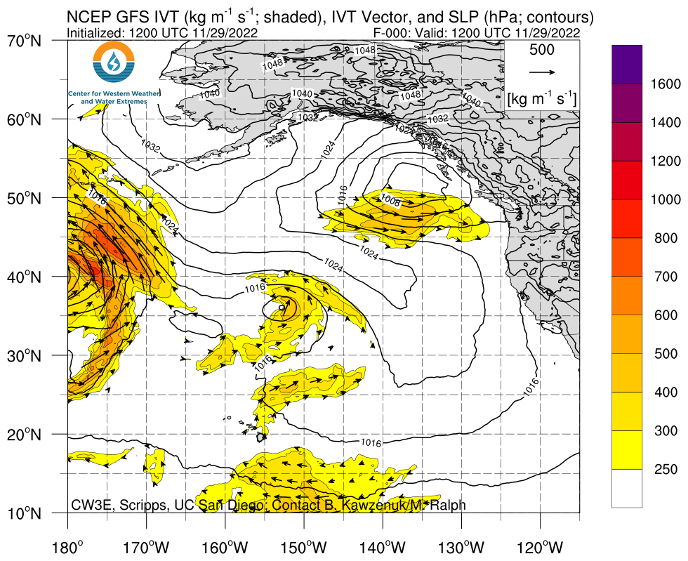
- A strong low-pressure system associated with an upper-level shortwave trough will impact much of the US West Coast today through Thursday, with the development of an atmospheric river over Northern California
- After the initial AR, a second low-pressure system will develop offshore and travel down the coast, bringing another round of precipitation to the region Friday into Sunday
- There is considerable model disagreement between the GFS and ECMWF, with the ECMWF forecasting more intense AR2 conditions along the coast of California during AR landfall
- The National Weather Service Weather Prediction Center is forecasting up to 7 inches of precipitation for mountainous regions along the border of Oregon and California during this event, with a marginal risk for excessive rainfall along the coast
- Rivers are expected to rise in Southern Oregon and Northern California during this storm, but are not forecast to exceed flood stage as a result of this event
- Cold air associated with the upper-level trough moving into the area will lead to lower freezing levels in the region
- National Weather Service forecast offices across the western U.S. have begun issuing public guidance for this storm, including winter storm watches and warnings in advance of snowfall totals in exceeding 24 inches for some locations at higher elevations
Click images to see loops of GFS IVT and IWV forecasts Valid 1200 UTC 29 November – 0000 UTC 5 December 2022 |
|
 |
 |


Summary provided by S. Bartlett, C. Castellano, S. Roj, M. Steen, J. Kalansky, and F. M. Ralph; 29 November 2022
To sign up for email alerts when CW3E post new AR updates click here.
*Outlook products are considered experimental