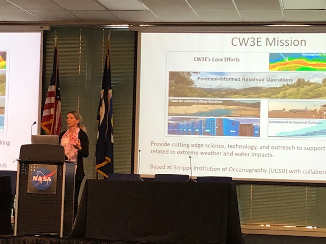
CW3E Publication Notice
Experimental Subseasonal-to-Seasonal (S2S) Forecasting of Atmospheric Rivers Over the Western United States
October 31, 2019
CW3E scientist Mike DeFlorio, along with co-authors from CW3E (F. Martin Ralph, Luca Delle Monache, Zhenhai Zhang), NASA Jet Propulsion Laboratory/California Institute of Technology (Duane Waliser, Alexander Goodman, Peter Gibson, Shakeel Asharaf), University of California Los Angeles (Bin Guan), University of Colorado (Aneesh Subramanian), ECMWF (Frederic Vitart), ECCC (Hai Lin), and NCEP (Arun Kumar), recently published an article in the S2S Special Issue of the Journal of Geophysical Research – Atmospheres titled “Experimental Subseasonal-to-Seasonal (S2S) Forecasting of Atmospheric Rivers Over the Western United States”.
The purpose of this work is to provide a multi-model hindcast skill assessment of atmospheric river (AR) activity over the western United States at S2S lead times ranging from 1-week to 1-month. In addition, forecasts of “opportunity” and forecasts of “avoidance” where S2S skill is higher or lower than average conditions, respectively, are identified by conditioning forecasts of AR activity on phases of strong El Niño-Southern Oscillation (ENSO) and Madden-Julian Oscillation (MJO) events. It is found that the ECMWF and ECCC hindcast systems are generally more skillful than NCEP hindcast system at predicting AR activity across all lead times, and that hindcasts initialized during MJO Phase 4 [8] are identified as forecasts of avoidance [opportunity] for AR activity at S2S lead times over Central California, with less overall sensitivity of prediction skill to initial ENSO phase.
Average winter-time Brier Skill Score values for “no” and “high” AR activity categories (0 and 3-7 AR days/week, respectively) are shown in Figures 1 and 2, respectively. The ECMWF and ECCC S2S hindcast systems are generally more skillful than NCEP hindcast system at predicting AR activity across all lead times, which can be seen by the higher values (deeper color saturation) across much of the domain in the ECMW and ECCC hindcast systems.
Figure 1: AR1wk NDJFM Brier Skill Score values in each hindcast system (columns) at each lead time (rows) for the ”0 AR days/week” activity level. Values are only plotted if they are > 0 (i.e. skillful with respect to ERA-I reference climatology) and if they are significant at the 95% level using a 100-sample bootstrapping procedure with replacement. The color bar range for Week 1 (top row) is 0 to 0.5, while the color bar range for Weeks 2-4 is 0 to 0.25.
Figure 2: AR1wk NDJFM Brier Skill Score values in each hindcast system (columns) at each lead time (rows) for the ”3-7 AR days/week” activity level. Values are only plotted if they are > 0 (i.e. skillful with respect to ERA-I reference climatology) and if they are significant at the 95% level using a 100-sample bootstrapping procedure with replacement. The color bar range for Week 1 (top row) is 0 to 0.5, while the color bar range for Weeks 2-4 is 0 to 0.25.
An example of a forecast of opportunity is shown in Figure 3. ECMWF hindcasts initialized during MJO Phase 8 are identified as a forecast of opportunity for AR activity at week-2 lead time over Central California. In this case, a 15-20% average reduction in false alarms for AR activity is seen.
Figure 3: Schematic of Relative Operating Characteristic (ROC) statistics of AR activity (hit, miss, false alarm, correct rejection) used this study; b) ROC statistics for Central California region for all NDJFM days (black) and MJO Phase 8 initial condition composite (red) as a function of week-long lead window (symbols) in the ECMWF hindcast system.
This work represents the first multi-model hindcast skill assessment of AR activity out to 1-month lead time (building on the work of Nardi et al. 2018 and DeFlorio et al. 2019a). Experimental near real-time forecasts of AR activity are also introduced and are presently being evaluated between CW3E, NASA JPL, NCEP, and stakeholders at California DWR.
DeFlorio, M. J., D. E. Waliser, F. M. Ralph, B. Guan, A. Goodman, P. B. Gibson, S. Asharaf, L. Delle Monache, Z. Zhang, A. C. Subramanian, F. Vitart, H. Lin, and A. Kumar (2019b), Experimental subseasonal-to-seasonal (S2S) forecasting of atmospheric rivers over the western United States. Journal of Geophysical Research – Atmospheres, 124. doi:10.1029/2019JD031200.
DeFlorio, M. J., D. E. Waliser, B. Guan, F. M. Ralph, and F. Vitart (2019a), Global evaluation of atmospheric river subseasonal prediction skill. Climate Dynamics, 52. 309. doi:10.1007/s00382-018-4309-x..
Nardi, K., E. Barnes, and F. M. Ralph (2018), Assessment of Numerical Weather Prediction Model Re-Forecasts of the Occurrence, Intensity, and Location of Atmospheric Rivers along the West Coast of North America. Monthly Weather Review, 146, 3343–3362, doi:10.1175/MWR-D-18-0060.1.